
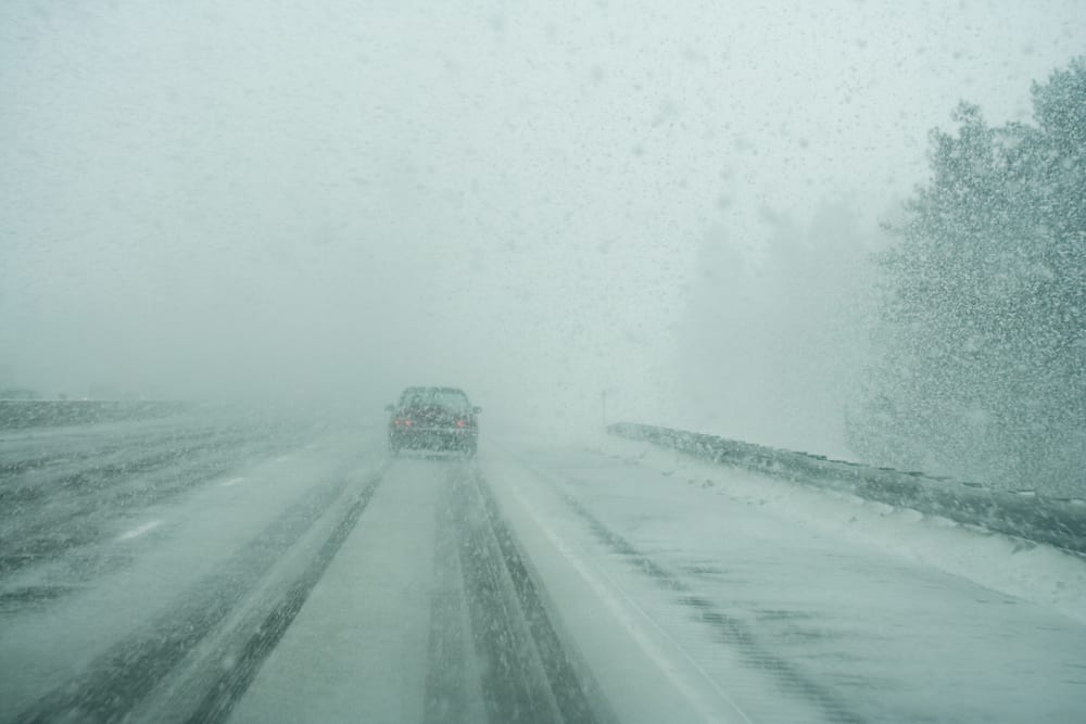
The National Weather Service in Cheyenne forecasts additional snow in south central and southeast Wyoming on Monday afternoon and into the night.
1-2 inches of accumulation is expected. Winds are expected to increase late Tuesday afternoon and are expected to “persist through Wednesday evening.
The NWS in Cheyenne has issued a high wind watch set to take effect at 5 pm Tuesday. Gusts could reach as high as 60 mph.
The high winds could impact areas of I-80 and I-25 through Wednesday evening.
“Strong cross winds will be hazardous to light weight and high profile vehicles, including campers and tractor trailers,” the NWS in Cheyenne says. “There will be a high risk for vehicle blow overs.”
“The strong winds will cause patchy blowing snow.”
Strong winds are expected to return again on Thursday and last through Sunday.